Cookies

We use essential cookies to make our site work. We'd also like to set analytics cookies that help us make improvements by measuring how you use the site. These will be set only if you accept.

For more detailed information about the cookies we use, see our cookies page.

Essential Cookies

Essential cookies enable core functionality such as security, network management, and accessibility. For example, the selections you make here about which cookies to accept are stored in a cookie.

You may disable these by changing your browser settings, but this may affect how the website functions.

Analytics Cookies

We'd like to set Google Analytics cookies to help us improve our website by collecting and reporting information on how you use it. The cookies collect information in a way that does not directly identify you.

Third Party Cookies

Third party cookies are ones planted by other websites while using this site. This may occur (for example) where a Twitter or Facebook feed is embedded with a page. Selecting to turn these off will hide such content.

Skip to main content

Leisure

Footpaths and Walks
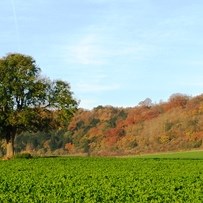
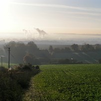
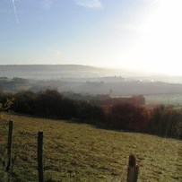
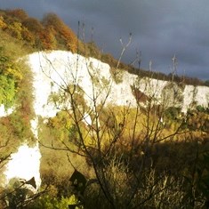
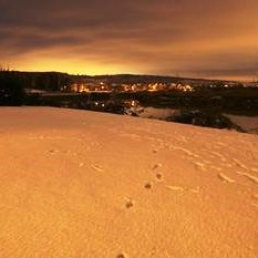
From the photographs above, one can quickly see we have some special English countryside in and around the village.  In fact, the hills and countryside on the western flank of Halling Parish form part of the Kent Downs Area of Outstanding Natural Beauty (AONB). 

The Kent Downs AONB covers 878 sq. km from the White Cliffs at Dover and Folkestone to the Surrey Border. The geology of the area defines the topography and landscape features that form the basis of the natural beauty for which it is nationally recognised. A large arch of chalk, shaped like an eyelid, sweeps across Kent. This creates a central ridge through the county and forms the most important geological feature of the AONB. For more info about walks, an interactive map and opportunities to be active in the Kent Downs AONB, please see www.kentdowns.org.uk.

For more information about walks and footpaths in Kent, Kent County Council or Walking In Kent